The witness
An account is read on its own terms. We do not add red eyes, a devil’s temper or monstrous size where the source does not.
About
The reports and historical sources document what people said, wrote or believed they encountered. What caused those experiences remains open.
The archive is independently researched and maintained in East Anglia.
Each account is taken seriously. Each source is checked.
An account is read on its own terms. We do not add red eyes, a devil’s temper or monstrous size where the source does not.
The encounter, the account that records it, the source that carries that account and the later retellings are kept distinct. Editorial notes explain how the record was checked.
Black Shuck, Old Shuck, Shock and other names are recorded as used. They are not assumed to refer to the same thing across time and place.
Testimony, documents and traditions are treated as records of what people reported or believed they encountered. They establish what was said or experienced, not the nature or cause of what lay behind it.
About this record
This is an independent field archive concerned chiefly with Norfolk and Suffolk. Cambridgeshire and Essex are included where a source, road or local tradition crosses county boundaries.
Present contact
Corrections, source leads, family accounts and reports may be sent to archive@blackshuck.org. Correspondence and identifying details will not be quoted or published without clear permission. Questions may be asked so that provenance is recorded properly.
Rights and originality
The archive’s prose, structure and research notes were created specifically for this project. Source-specific rights notes are kept in the Source Library.
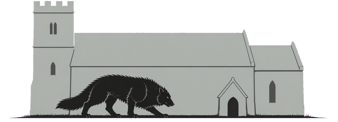
The hound, church and landscape artwork was created specifically for this archive with image-generation tools. It was not taken from another website or presented as a historical photograph.
Original project artworkThe map uses public-domain Landsat 9 imagery supplied by the United States Geological Survey and the NASA/USGS Landsat programme. Its treatment, labels and encounter markers were created for this project.
Public-domain source imageryShort extracts appear only when the wording itself matters. Each is accompanied by a source and locator. Public-domain texts are identified; copyrighted scholarship is summarised or quoted only briefly.
Source-specific rights notesModern sources are cited and summarised where relevant. Their photographs, layouts and substantial wording are not reproduced here.
Links and original summaries onlyIf a source, image or attribution appears to require correction, please contact archive@blackshuck.org. The archive will amend or withdraw the affected material where necessary.
Further reference