Geographic view
Encounters across East Anglia
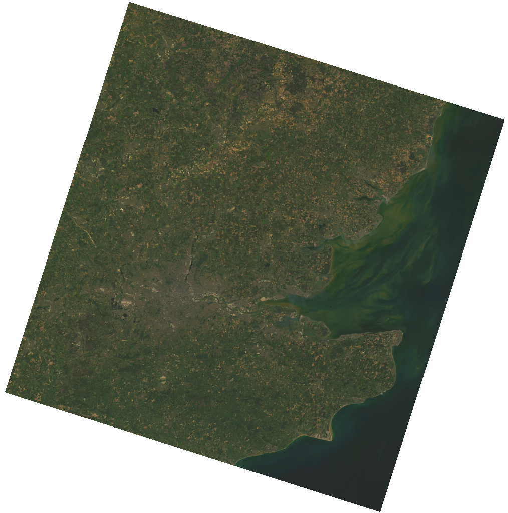
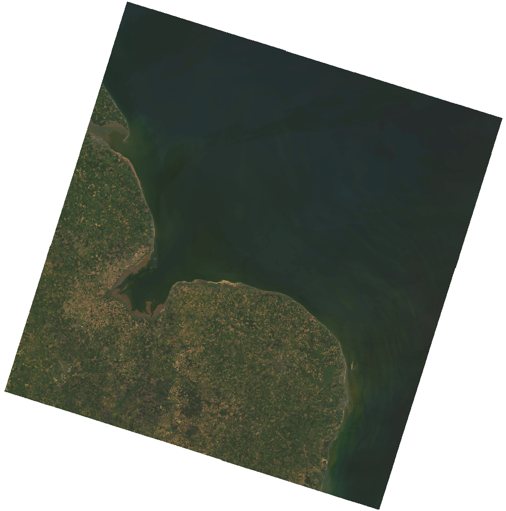
The map centres on Norfolk and Suffolk, with records from Cambridgeshire and Essex where the evidence crosses county boundaries.
 NORFOLKSUFFOLKCAMBRIDGESHIREESSEXNORTH SEA
LANDSAT 9 · 26 MAY 2026
14 marks shown
The country from above. Public domain Landsat imagery has been darkened so that field, fen and coast may be read without a modern map’s glare. Each mark is only as exact as its account allows.
Landsat 9 Collection 2 imagery courtesy of the U.S. Geological Survey · NASA/USGS Landsat programme · Rendered through Microsoft Planetary Computer
Reading the marks
How precise are the locations?
A church can be marked closely. A meeting described only as a stretch of marsh, road or coast is shown more broadly.
- Recorded building or close locality
- Estate or bounded locality
- Regional or approximate area